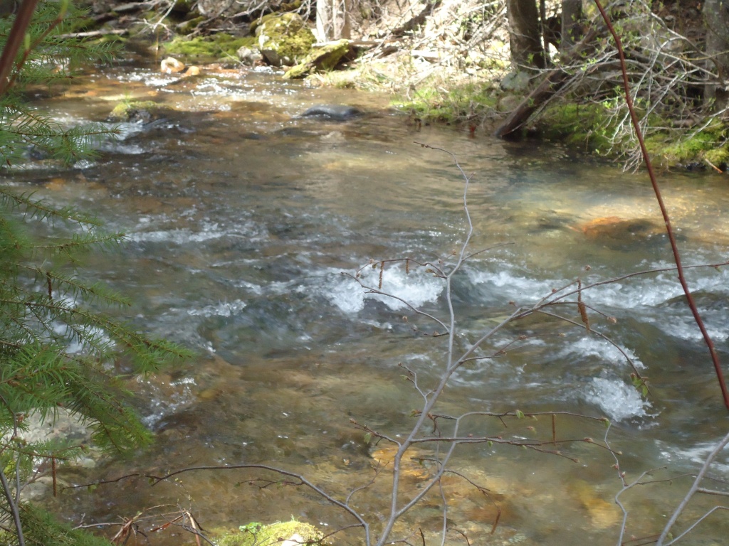
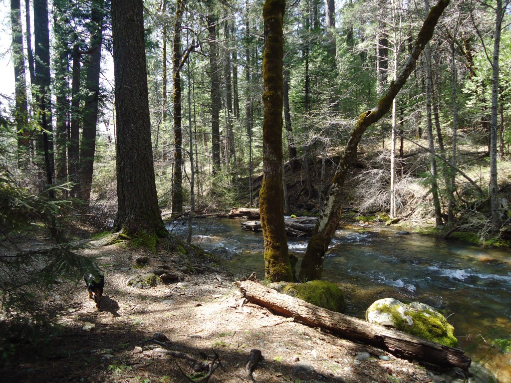
late April in the Sierra:
Recently three of the four Friends of Bloody Run Creek drove to a few of the crossings we knew to check on the creek. The Wilderness Wino was out of town, but Mr. Lightcap and I and our dog Elvis were ready for action.
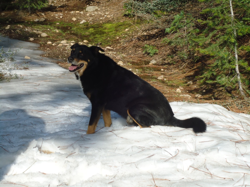
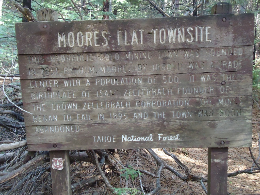
Elvis loves the snow, and he soaks up the last bit as snowmelt continues to feed Bloody Run Creek near Moore’s Flat. This crossing is the furthest upstream of the three we visited.
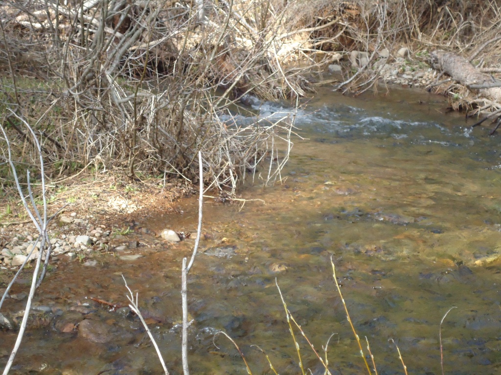
Bloody Run is only several feet wide here, and with snowmelt and run off, it looked like we might be close to the headwaters. But since then, I read in Hank Meals’ The River that a stream by the same name exits Sterling Lake.
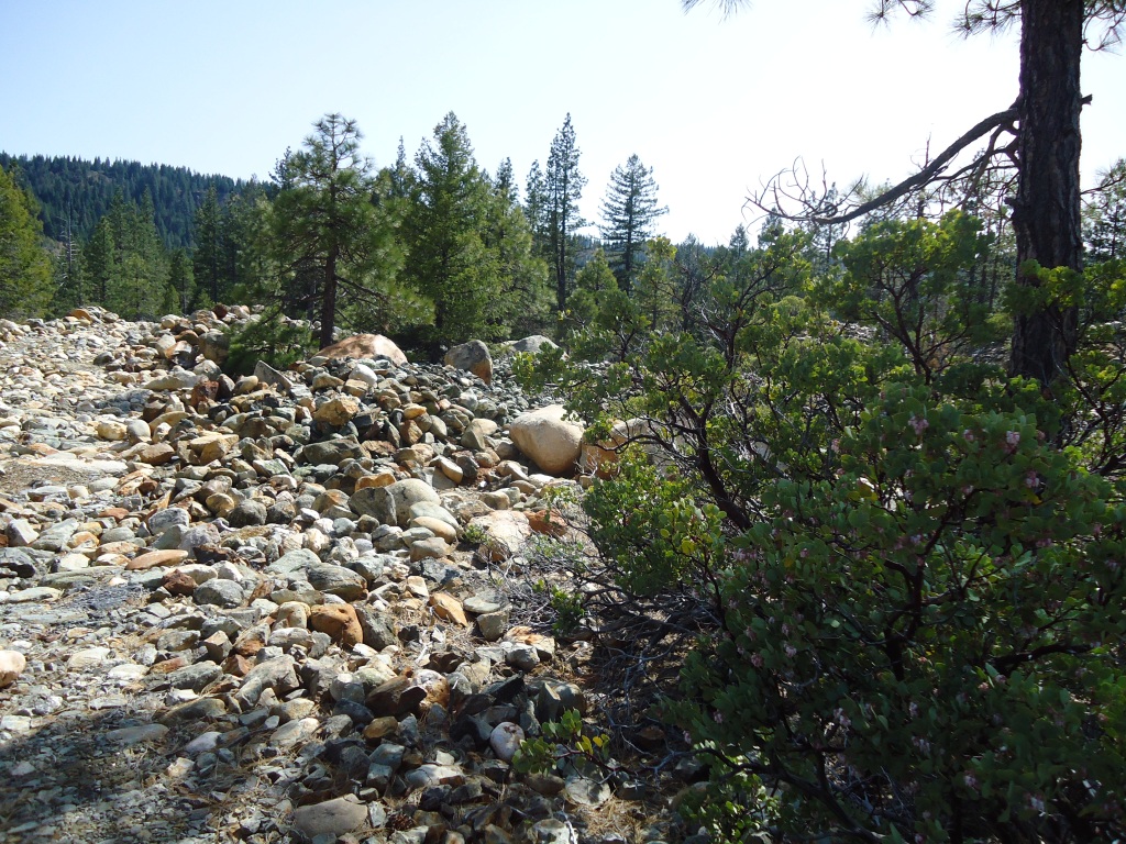
Moore’s Flat is known for its rocks, leftover from the hydraulic mining in the 19th and early 20th Century.
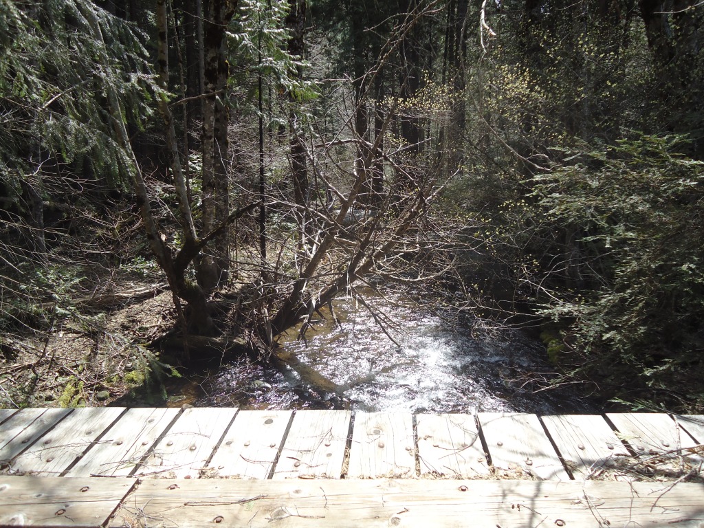
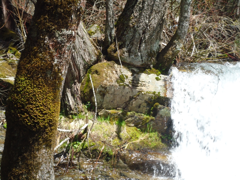
We left Moore’s Flat and traveled toward Backbone Road, to a crossing we visit often on our walks. Sitting in the sun on the wooden bridge, we had only to look fifty feet upstream to see three hearty tributaries dumping water in the Creek. No wonder it had tripled in size from the first crossing we visited.
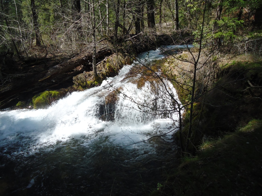
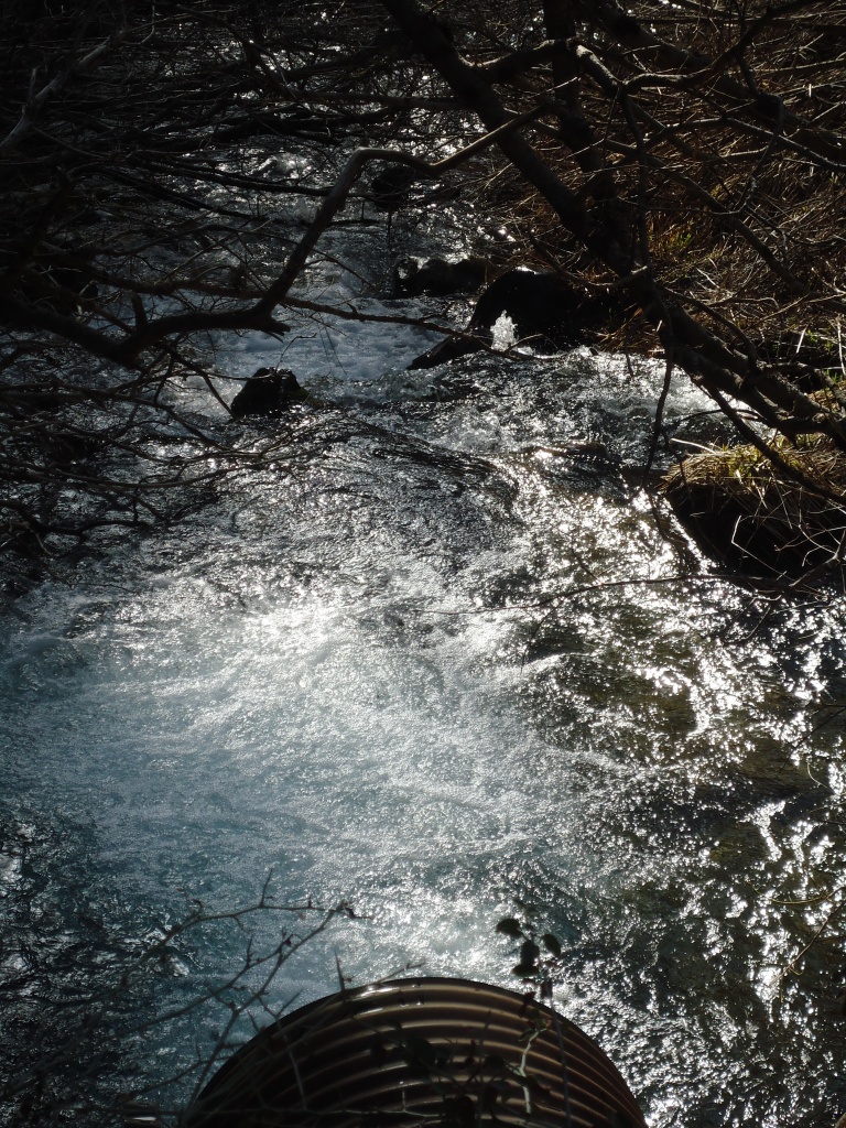
At the crossing at Bear Trap Springs Road, the creek is wide, high, and fast. This appears to be about a mile from the confluence.

